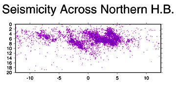
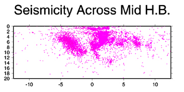
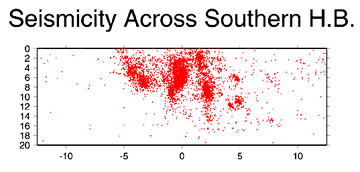
Spatial Extent and Structures
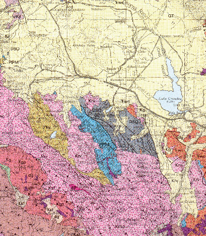 |
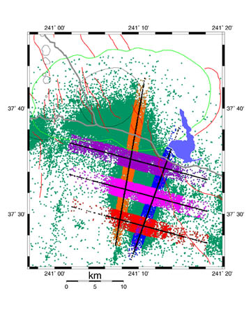
A Geologic map of the area by Bateman 1992, shows the region to have predominately NW trending structural features. |
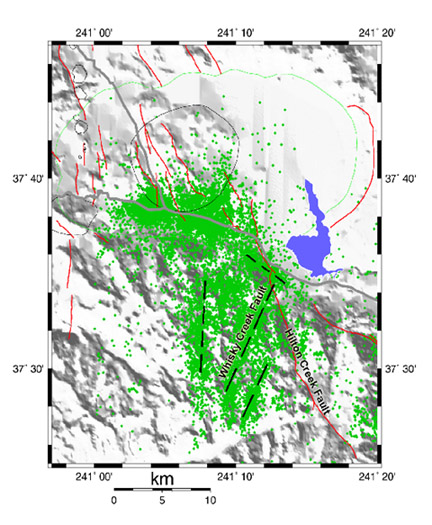
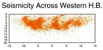
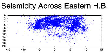
This map depicts the observed active seismicity 1978 to 1999 and the inferred NNE lineaments, the caldera rim and the Hilton Creek Fault. |
|
|
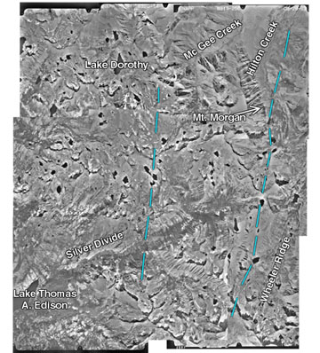
Lineations in aerial photography indicate 2 observable NNE trending
structural features.
|