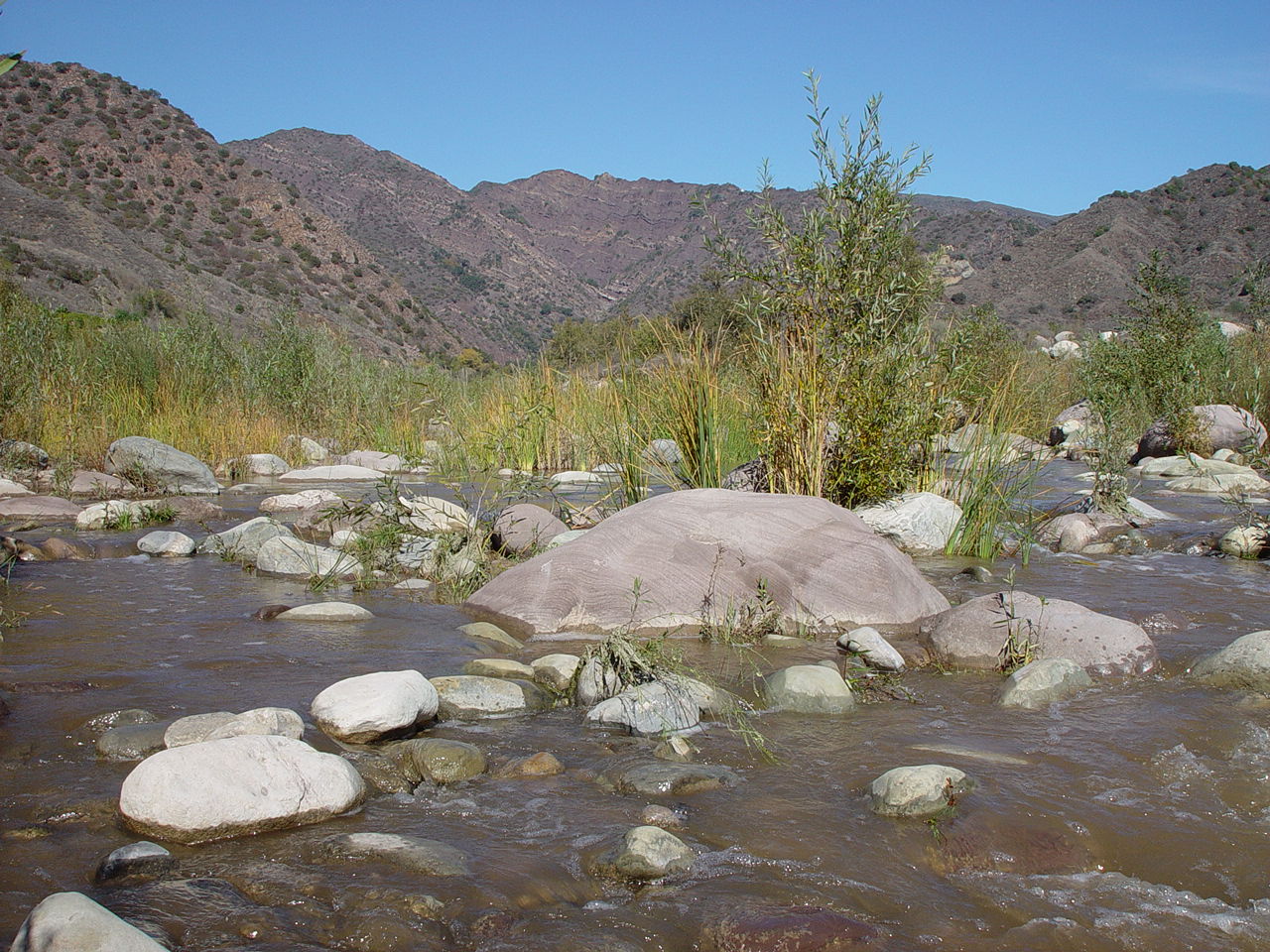
Sespe Creek near the lower USGS gauge. The upstream basin
is 650 square km.
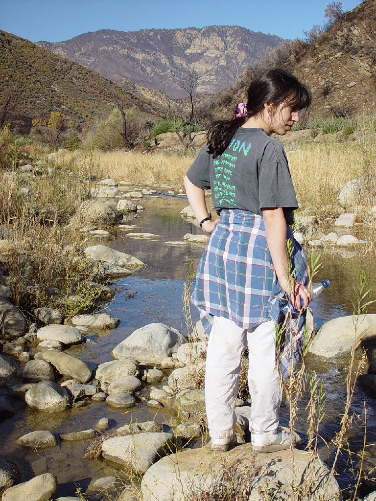
Emily Brodsky just below the upper gauge and just below
the entrance to Sespe Canyon.
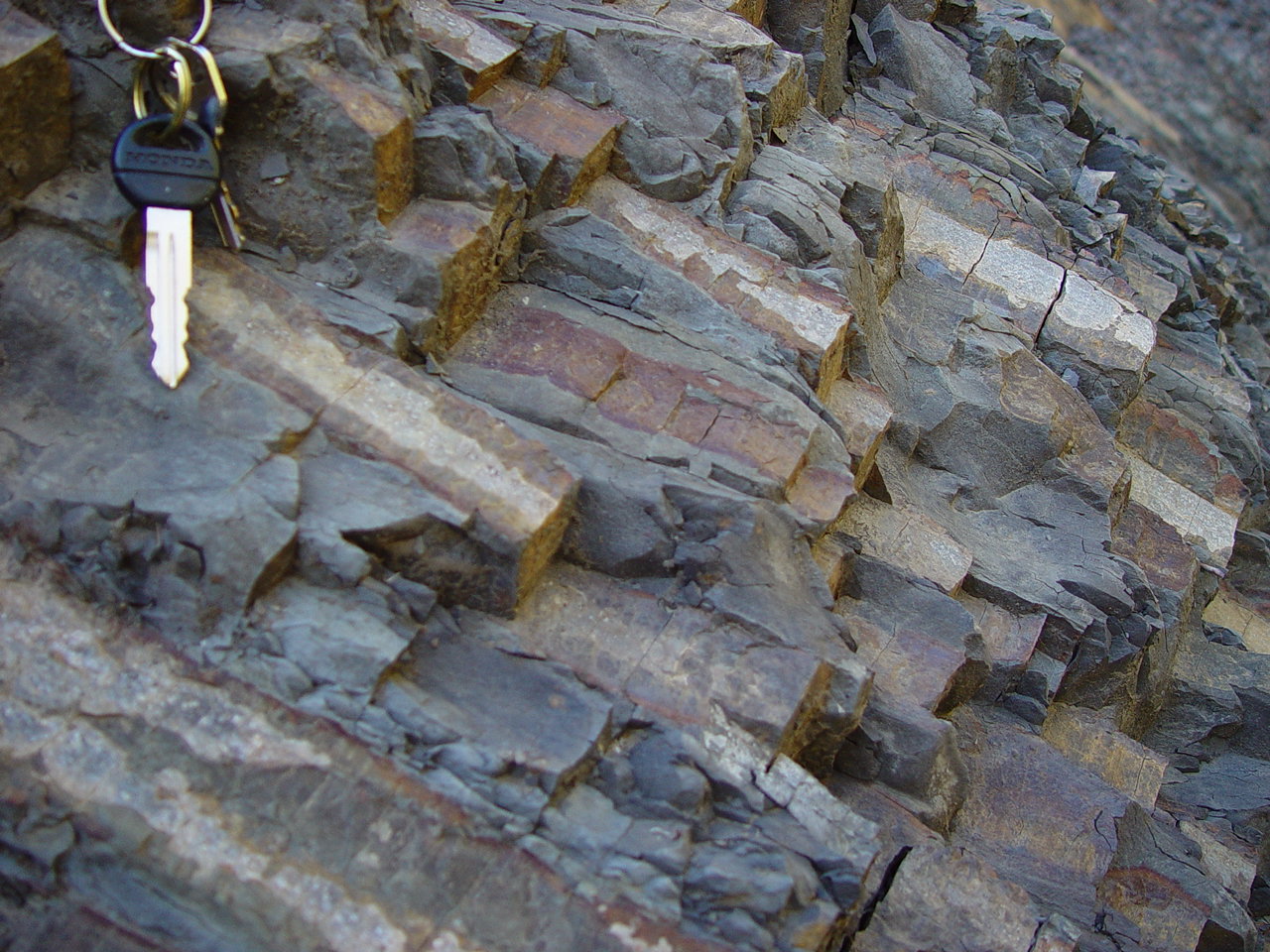
Turbidites
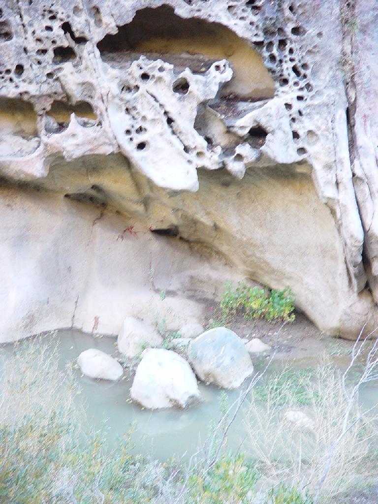
Potholes in sandstone at the upper gauge
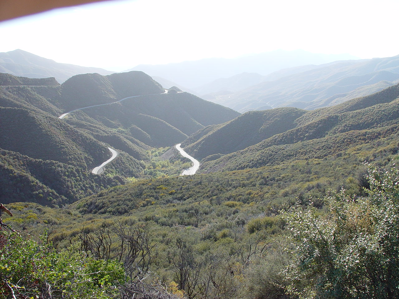
The Transverse Ranges.
Sespe Creek is located in the Transverse Range, north of Ventura, California. Interestingly, discharge in Sespe Creek increases after large earthquakes (see Muir-Wood and King, Journal of Geophysical Research, 1993 and Manga, Geophysical Research Letters, 2001 and Manga et al., Geophysical Research Letters, 2003 for more details; see also comments in Nature). In collaboration with Emily Brodsky and Michael Boone we have been reanalyzing and reinterpreting the response of streamflow. We are fortunate to have long gauging records (collected by the USGS since 1911) and many earthquakes.
Sespe Creek near the lower USGS gauge. The upstream basin is 650 square km.
Emily Brodsky just below the upper gauge and just below the entrance to Sespe Canyon.
Turbidites
Potholes in sandstone at the upper gauge
The Transverse Ranges.