Richard Allen
Director, Berkeley Seismology Lab.
Class of 1954 Endowed Professor, Dept. Earth & Planetary Science.
Research Scientist, Google.
Tweets by RAllenBerkeley

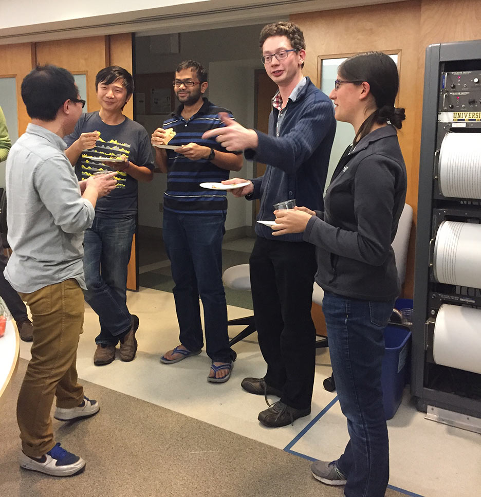


Allen Group Activities
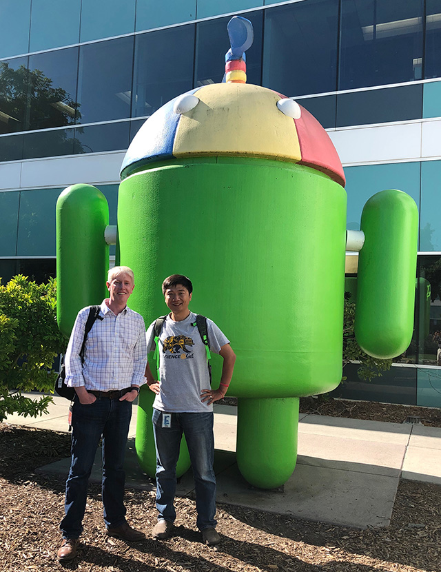
Richard Allen and Qingkai Kong at Google Android during their collaboration to build the Android Earthquake Alerts system.
Earthquake alerts, now part of Android. Yes, this looks a lot like Richard Allen with his Berkeley Golden Bear mug. (Video courtesy of Google) [Play Video]
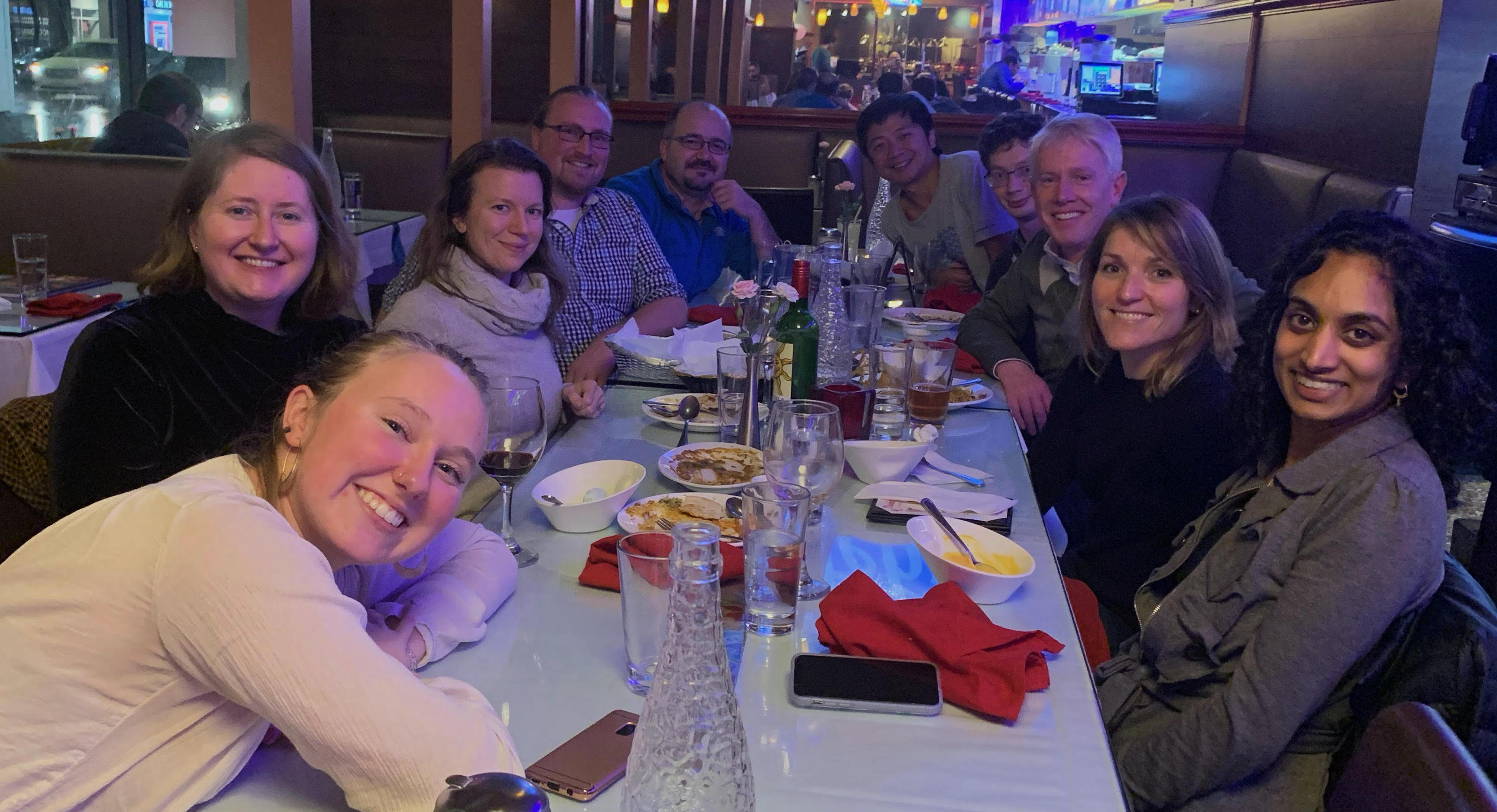
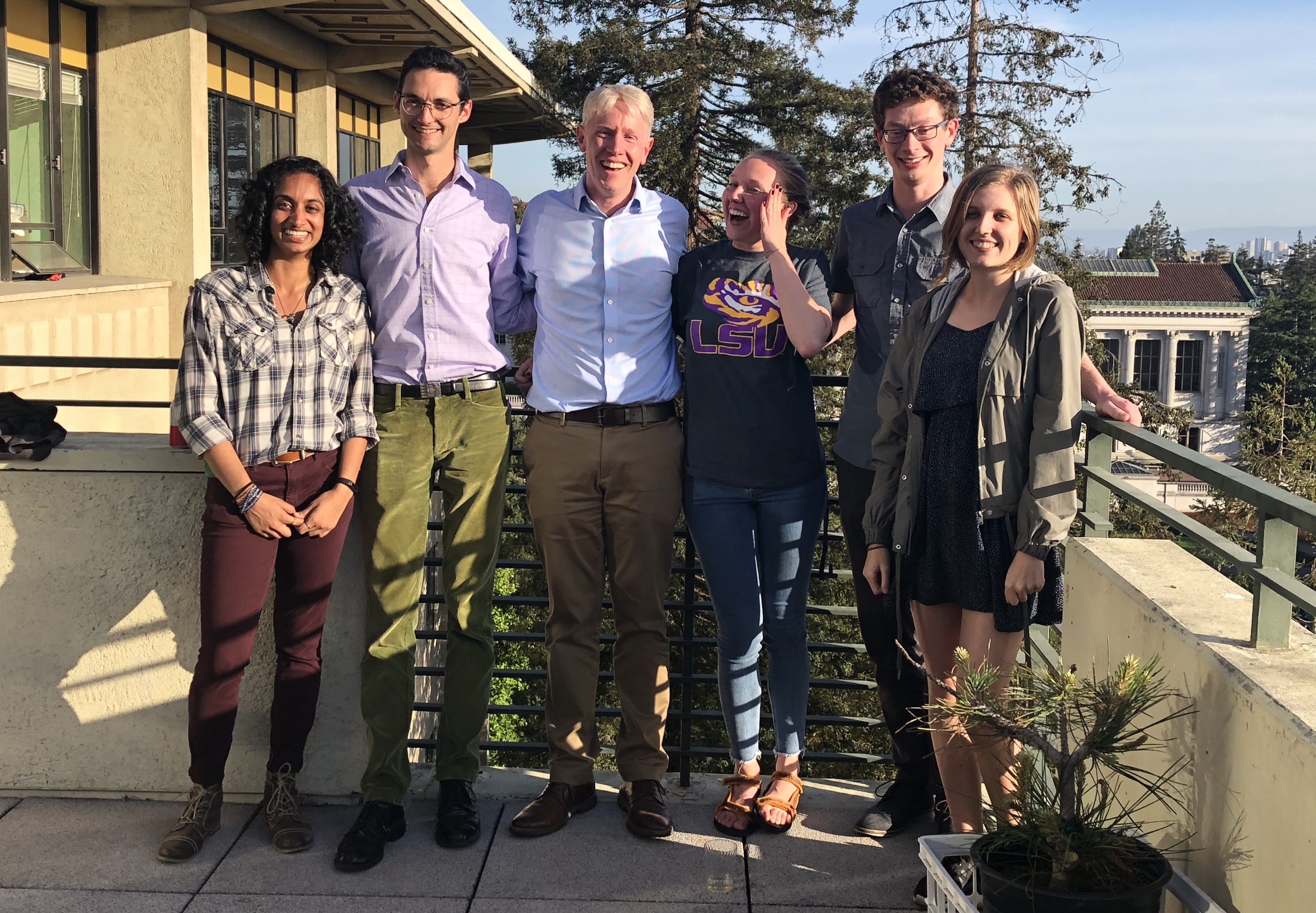
Gathering of current and former members of the Allen group at the AGU 2019 meeting. Left to right: Claire Doody, Christine Ruhl, Jenn Strauss, Robert Porritt, Serdar Kuyuk, Qingkai Kong, Robert Martin-Short, Richard Allen, Angie Chung, Sarina Patel
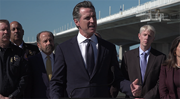
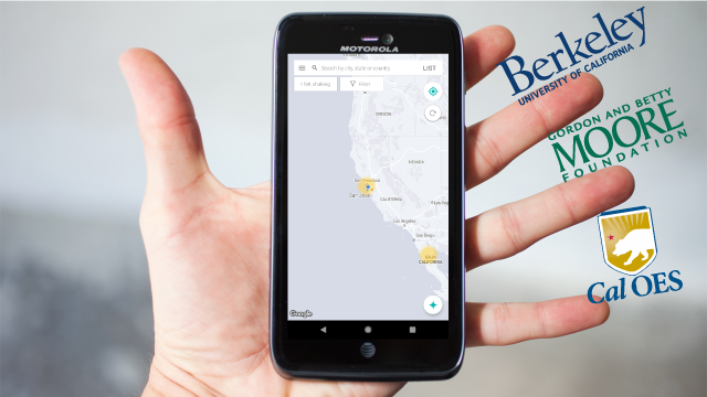
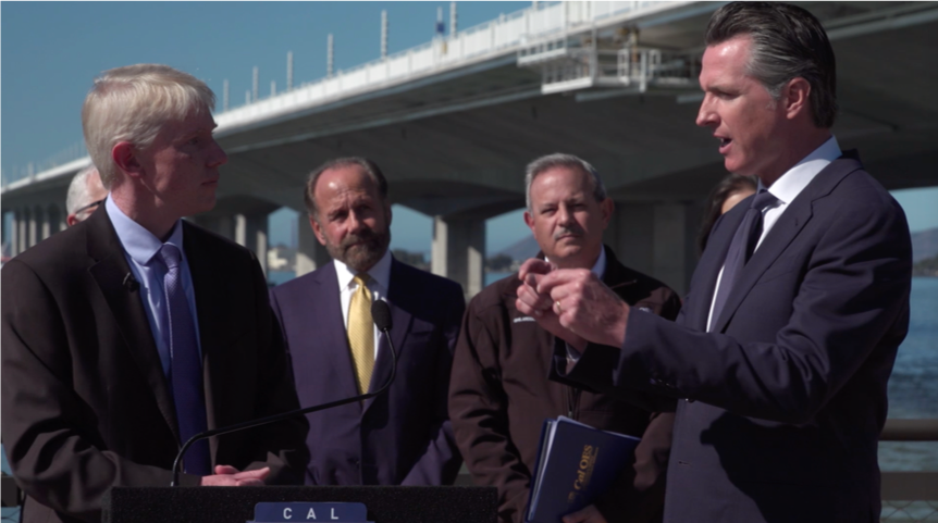
Governor Gavin Newsom announces the launch of the MyShake smartphone app to include the first delivery of public earthquake alerts across California. The event was at the foot of the old Bay Bridge which collapsed in the Loma Prieta earthquake exactly 30 years earlier. October 17, 2019. (Play Video)
Press conference announcing the launch of public earthquake alerts delivered through the MyShake smartphone app. Left to right: Berkeley Seismology Lab Director Richard Allen, State Senator Jerry Hill, CalOES Director Mark Ghilarducci, and Governor Newsom. Oakland Mayor Libby Schaaf hosted the event (just out of shot).October 17, 2019.
PhD students in the Allen group at the celebration following William Hawley's Exit Seminar. Left to right: Sarina Patel, William Hawley, Richard Allen, Claire Doody, Robert Martin-Short, Eliza Karlowska. May 2019.
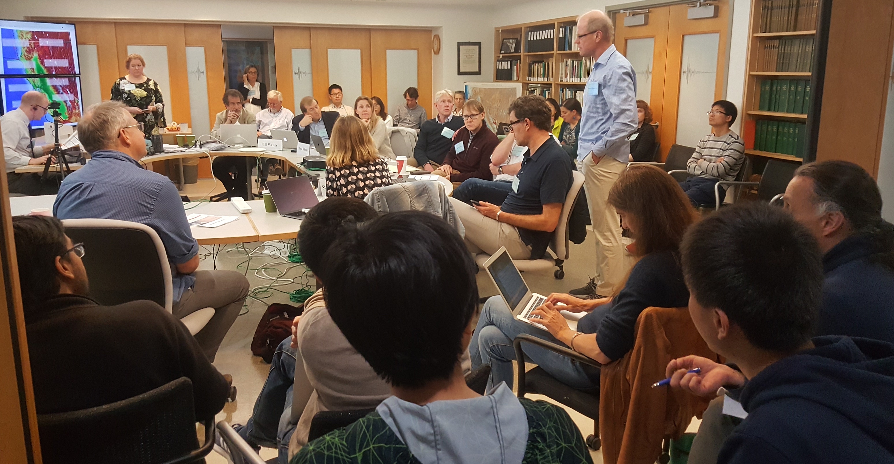
The National Academies Committee on Seismology and Geodynamics convenes at the Berkeley Seismology Lab to discuss "New Opportunities to Study Tectonic Precursors". May 2019.
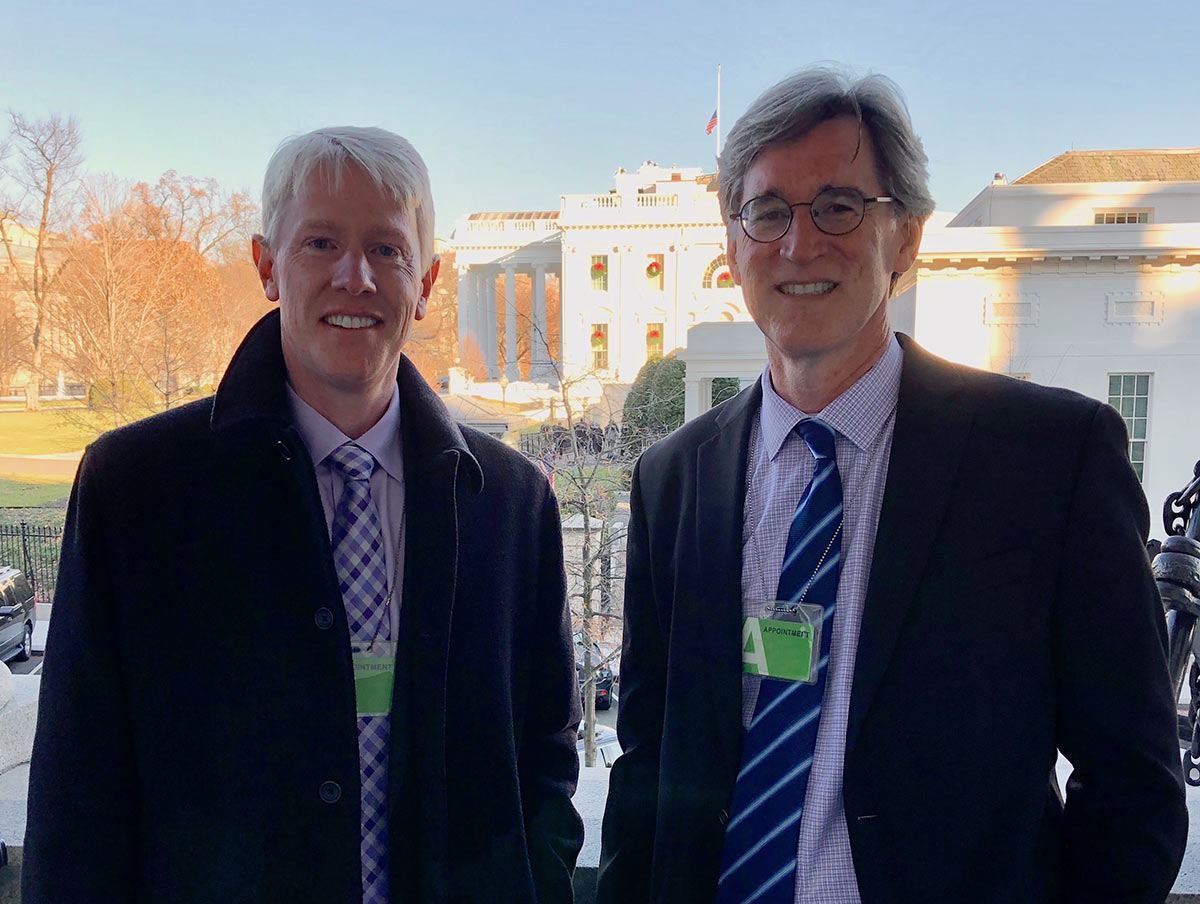
Richard Allen and Harold Tobin (University of Washington) at the White House following a briefing for staffers on the ShakeAlert earthquake early warning system. December 2018.
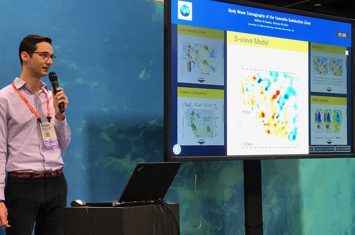
William Hawley, a graduate student in the Allen group, giving an eLightning talk at the Fall AGU meeting in Washington DC, December 2018.
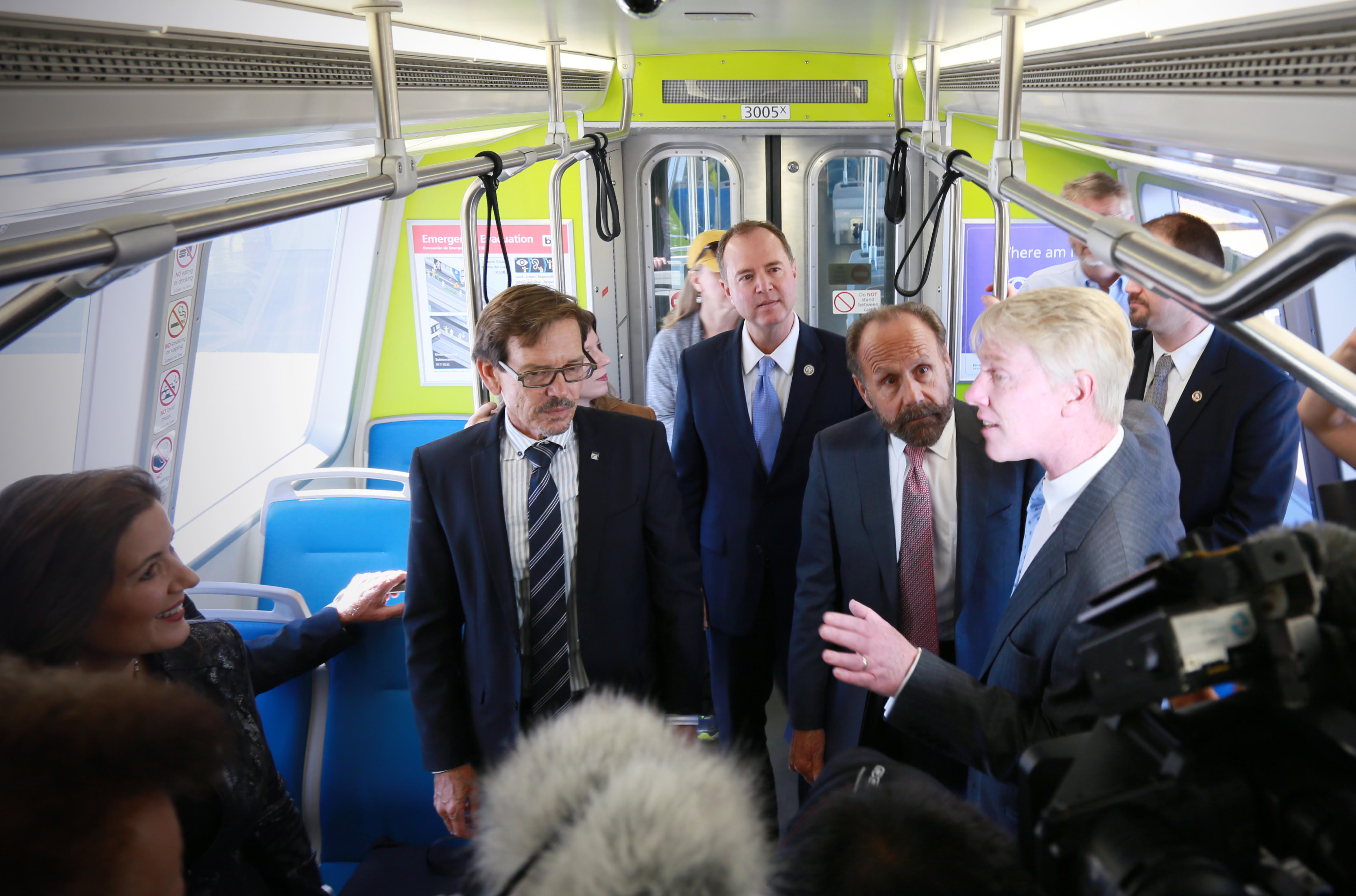
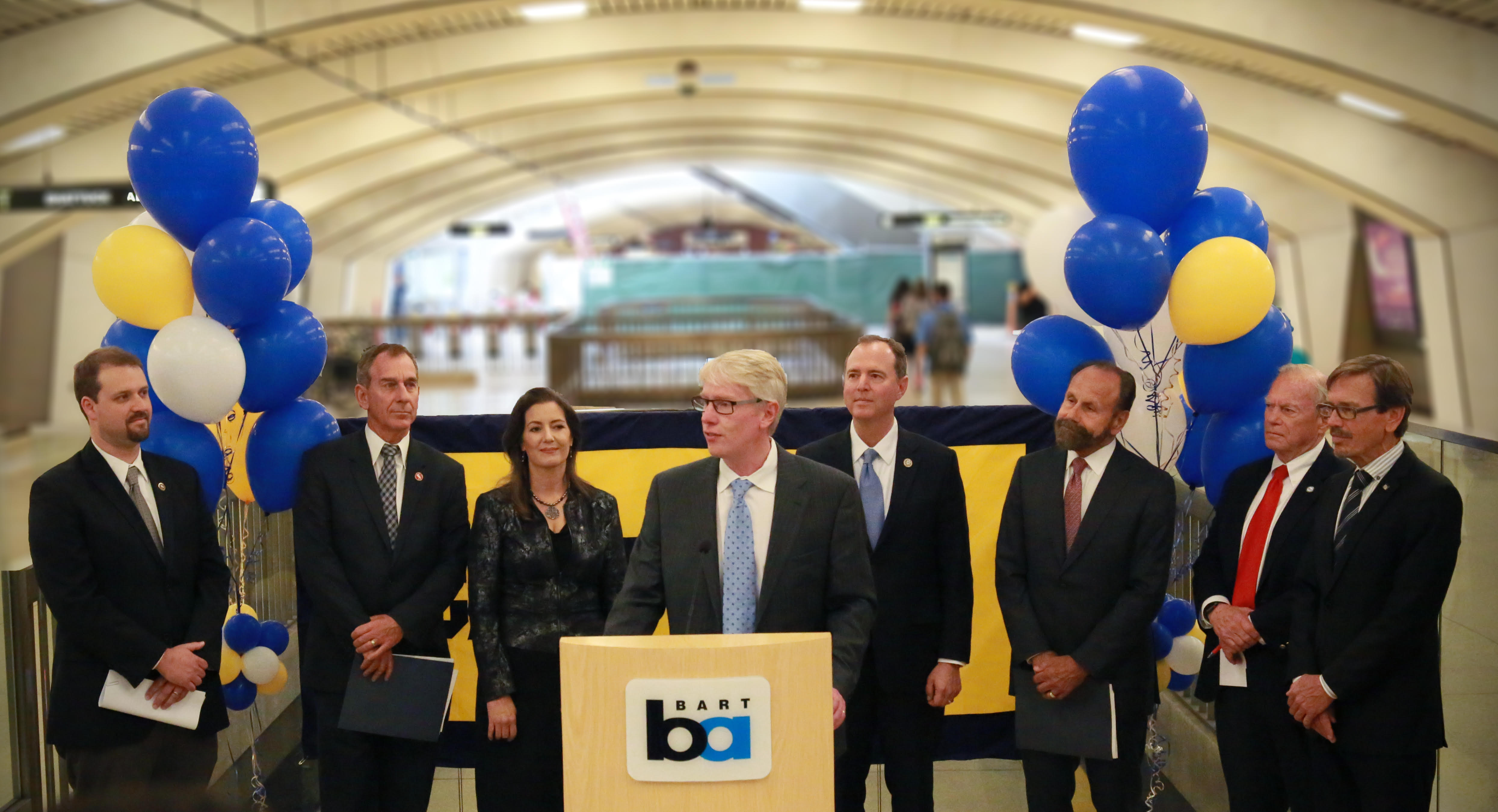
Demonstration of how BART is using ShakeAlert to slow and stop trains in earthquakes. VIPs participating from left to right: Oakland Mayor Libby Schaaf, BART Board of Directors President Robert Raburn, Congressman Adam Schiff, State Senator Jerry Hill. October 8, 2018. Photo credit Mohabbat Ahmadi.
Richard introduces the VIPs participating in the BART demonstration of ShakeAlert at the Downtown Berkeley station. Left to right: Ryan Arber, head of the earthquake and tsunami program at California’s Office of Emergency Services, State Senator Bob Wieckowski, Oakland Mayor Libby Schaaf, Berkeley Seismo Lab Director Richard Allen, Congressman Adam Schiff, State Senator Jerry Hill, BART Director John McPartland, and BART Board of Directors President Robert Raburn, . October 8, 2018. Photo credit Mohabbat Ahmadi.
Dr. Qingkai Kong and his family at his PhD graduation ceremony. May 2018.
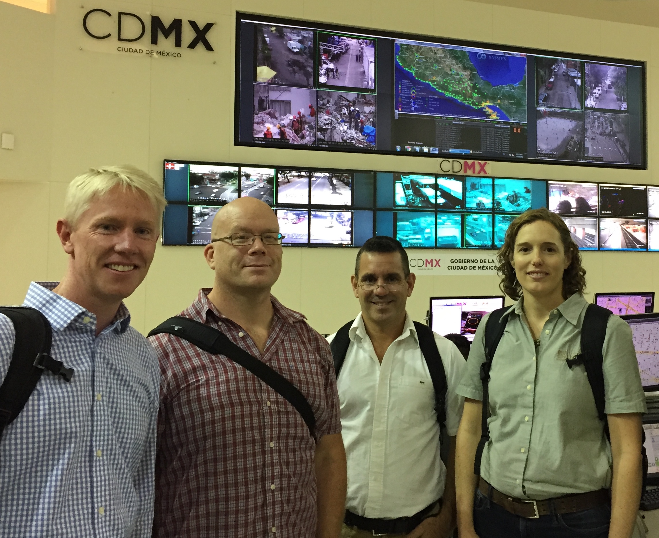
The Earthquake Engineering Research Institute (EERI) sent a reconnaissance team to Mexico City in October 2017 to learn about the Mexican earthquake early warning system and its performance in the September 2017 earthquakes. Team members pictured (right to left) Richard Allen, Scott Miles (U. Washington), Diego Otegui (U. Delaware) and Elizabeth Cochran (USGS).
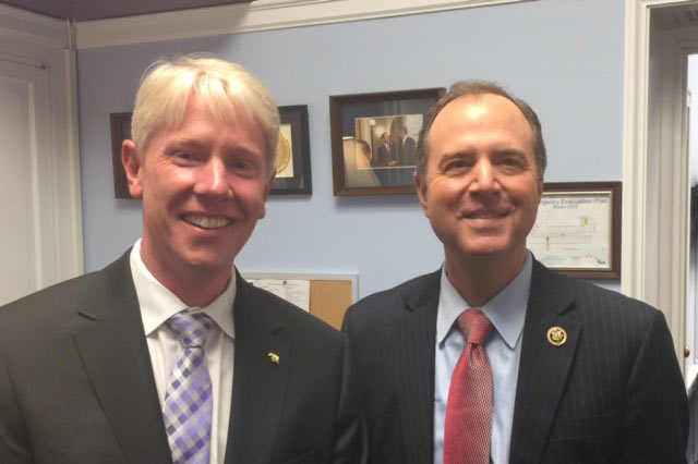
Richard meeting with Representative Adam Schiff of California in his D.C. office to update him on the progress of earthquake early warning in the US. April 2017.
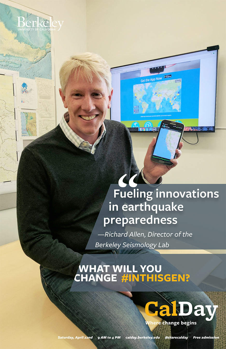
Richard gives a talk at CalDay on "Fueling Innovations in Earthquake Preparedness” in April 2017. What will you change #inthisgen?
Diego Melgar, formerly a postdoctoral fellow in the group and now a researcher, received the Charles Richter Early Career Award from the Seismological Society of America in April, 2017.
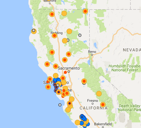
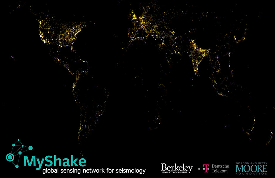
MyShake lights up the world! Map of the locations of all the phones that have installed MyShake in the first year - Happy 1st Birthday MyShake. February 2017.
Graduate student William Hawley publishes his 3D image of the Cascadia subduction zone in Science. In it he reveals an accumulation of low velocity material beneath the hinge of the subduction zone that is interpreted as accumulated low viscosity material separating the oceanic lithosphere from the mantle below. September 2016.
Demonstration video to illustrate how earthquake early warning would work in the US. This video was prepared and first shown at the White House Earthquake Resiliency summit in February 2016.
Graduate student Cheng Cheng (left) celebrating with other students after completing his exit seminar.
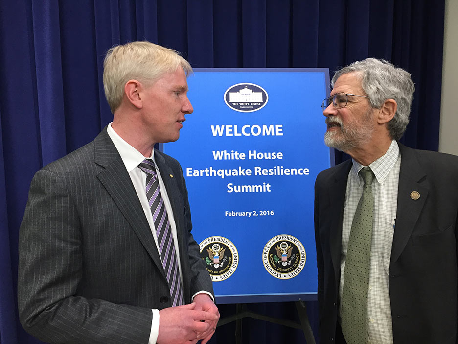
Richard introducing the concept of earthquake early warning at the White House Earthquake Resiliency Summit in February 2016.
Richard with John Holdren, President Obama’s Science Advisor, chatting before the Earthquake Resiliency summit at the White House in February 2016.
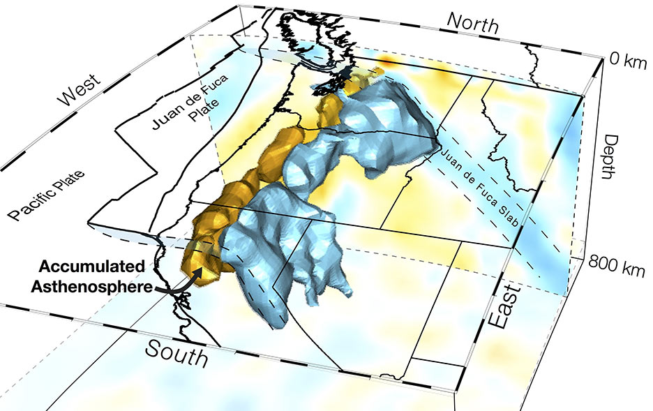
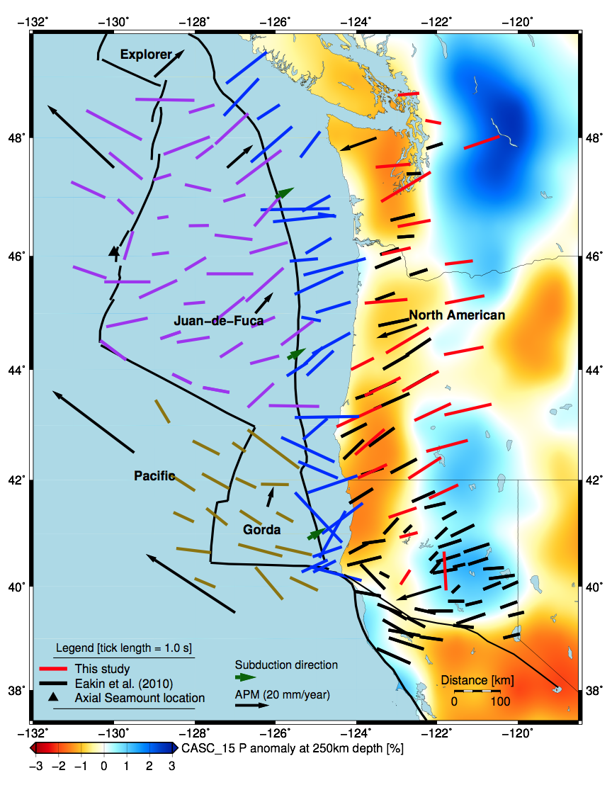
Graduate student Robert Martin-Short published his observations of mantle flow beneath the Juan de Fuca plate in Nature Geoscience. He interprets them to indicate a decoupling between portions of the Juan de Fuca plate and the mantle below. December 2015.
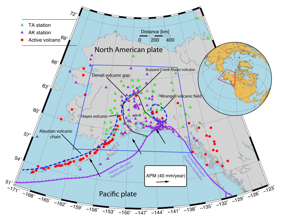
Overview map of the Cascadia Subduction Zone and the Cascadia Initiative seismic deployment. The Cascadia Initiative will study plate tectonic processes across the entire Jan de Fuca plate including the creation and destruction of the plate, and earthquake processes along the megathrust.
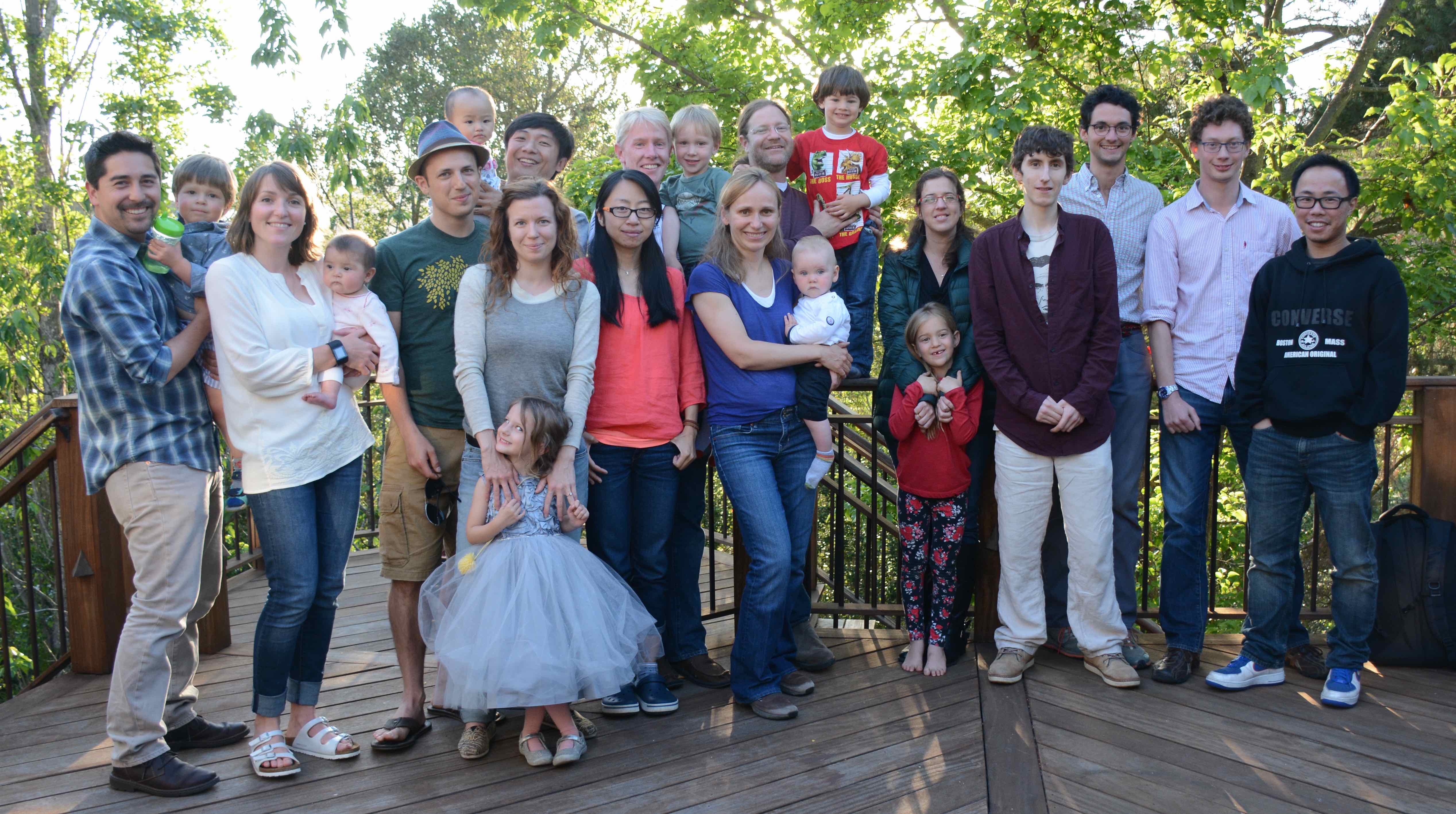
Richard’s group BBQ. May 2015
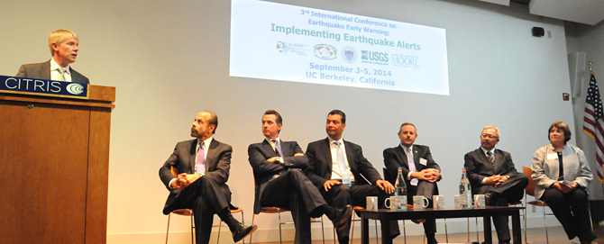
Two weeks after the Napa earthquake rattled the San Francisco Bay Area, the Berkeley Seismology Lab hosted the Third International Earthquake Early Warning meeting to discuss progress in early warning research and the path to a public system in the United States. Participating in the opening session (pictured here) where (left to right) Richard Allen, state Sen. Jerry Hill, Lt. Gov. Gavin Newsom, state Sen. Alex Padilla, Office of Emergency Services director Mark Ghilarducci, San Francisco Mayor Ed Lee and USGS acting director Suzette Kimball.
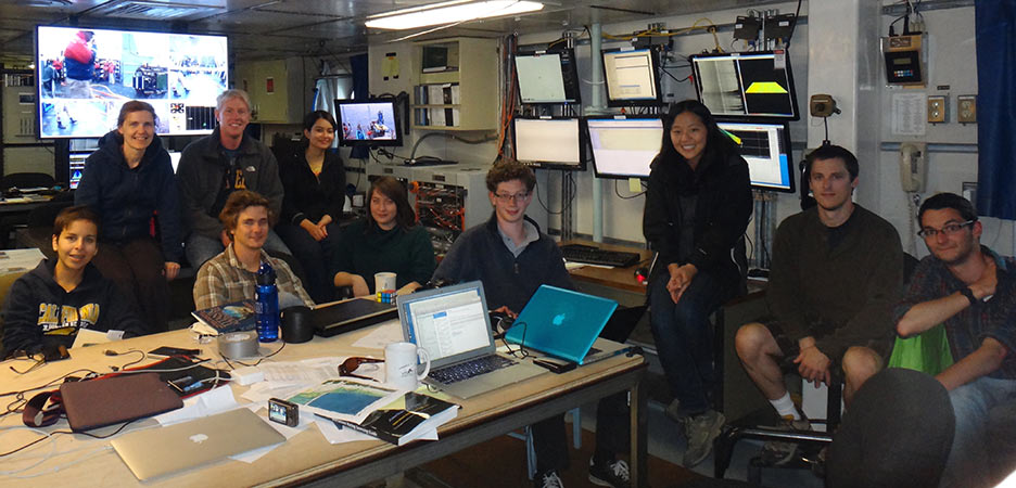
The Science Team on the R/V Thompson during one of the Cascadia Initiative cruises to recover seismic stations from the sea floor. Richard was co-chief scientist along with Maya Tolstoy from Columbia. Graduate students Robert Martin-Short and William Hawley were also on the team.
Tom Cruise Blog - 11 days at sea from a student perspective. Watch the daily video blog that the students on board the R/V Thompson made. Full Playlist
Connect