Hazard Information
The Berkeley Seismological Laboratory (BSL) provides robust and reliable data, both in real time and from our archives, that give the public as well as collaborators (such as the US Geological Survey and CalOES) information they need to better deal with, and prepare for, hazardous situations. In addition, the USGS and the BSL are responsible for reporting on Northern California earthquakes as part of the statewide monitoring effort known as the California Integrated Seismic Network.

Real-Time Earthquake Map
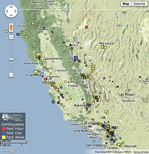
Our homepage displays a real-time, clickable earthquake map with the last seven days of earthquake activity conveniently centered on the state of California. Zoom and pan around the map to see what has been shaking in your area of California, the U.S. or the world. Those interested in older events or a non-California centered experience, real-time earthquake information is also delivered by the USGS.

ShakeMaps
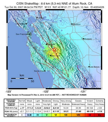
ShakeMaps are automatically generated maps of near-real-time ground motion following significant earthquakes. Data from the BSL and other regional seismic networks are used to create these maps, which are distributed to federal, state, and local agencies for use in response and recovery. ShakeMaps are also valuable for hazard planning and as public information. You can view recent ShakeMaps or browse archives of ShakeMaps for past earthquakes.
Searchable Earthquake Catalogs
Search for earthquakes in our Northern California and Global catalogs, or search the Southern California Earthquake Data Center catalog.
Current Berkeley Digital Seismic Network Seismograms
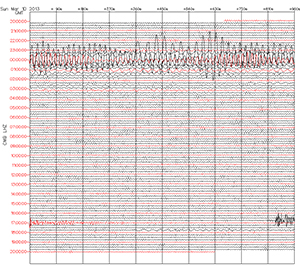
Take a quick look at the last 24 hours of data from our stations throughout Northern California. From the USGS, statewide seismograms are also available, while seismograms from stations all over the world can be viewed by clicking a triangle, then clicking the "heliplot" tab. Southern California's Webicorder also shows seismograms from select stations.

Sign up for Earthquake Notification
From the USGS: Sign up for email or text message notification about earthquakes in California and/or the World Earthquake Notification Serivce. This free service alerts you when earthquakes happen in you area.

EQ Special Reports
California Integrated Seismic Network archive of special reports on earthquakes of interest. The Berkeley Seismological Laboratory contributes reports for Northern California, while Southern California reports are contributed by the SCSN.


